Desert soil research was carried out in71,735 hectares, field geobotanical research works in the area of 19,000 hectares, and electronic cadastral database and digital cadastral maps of 33,677 hectares were prepared in the liberated part of Fuzuli.
Electronic cadastral accounting of quantitative and qualitative indicators of land, as well as land cadaster and land construction works such as land valuation, economic evaluation, etc. are being continued by the State Service on Property Issues under the Ministry of Economy in the Karabakh and Eastern Zangezur economic region.
The realization of these works will allow to determine the volume of the land resources of the region and the composition according to its purpose.
Cadastral and land construction works are being carried out in the liberated part of Fuzuli region along with Lachin and Agdam regions, since May of this year. 71,735 hectares of desert soil research and 19,000 hectares of desert geobotanical research were carried out in the liberated part of Fuzuli within the framework of these works. An electronic cadastral database and digital cadastral maps of 33,677 hectares of territory have been developed using modern field measuring devices.
Field survey works have been carried out in the Zangilan, Gubadli, Kalbajar, Jabrayil, Lachin, Fuzuli and Aghdam regions in a total area of about 687 thousand hectares as part of the land construction works carried out in the territories liberated from occupation.
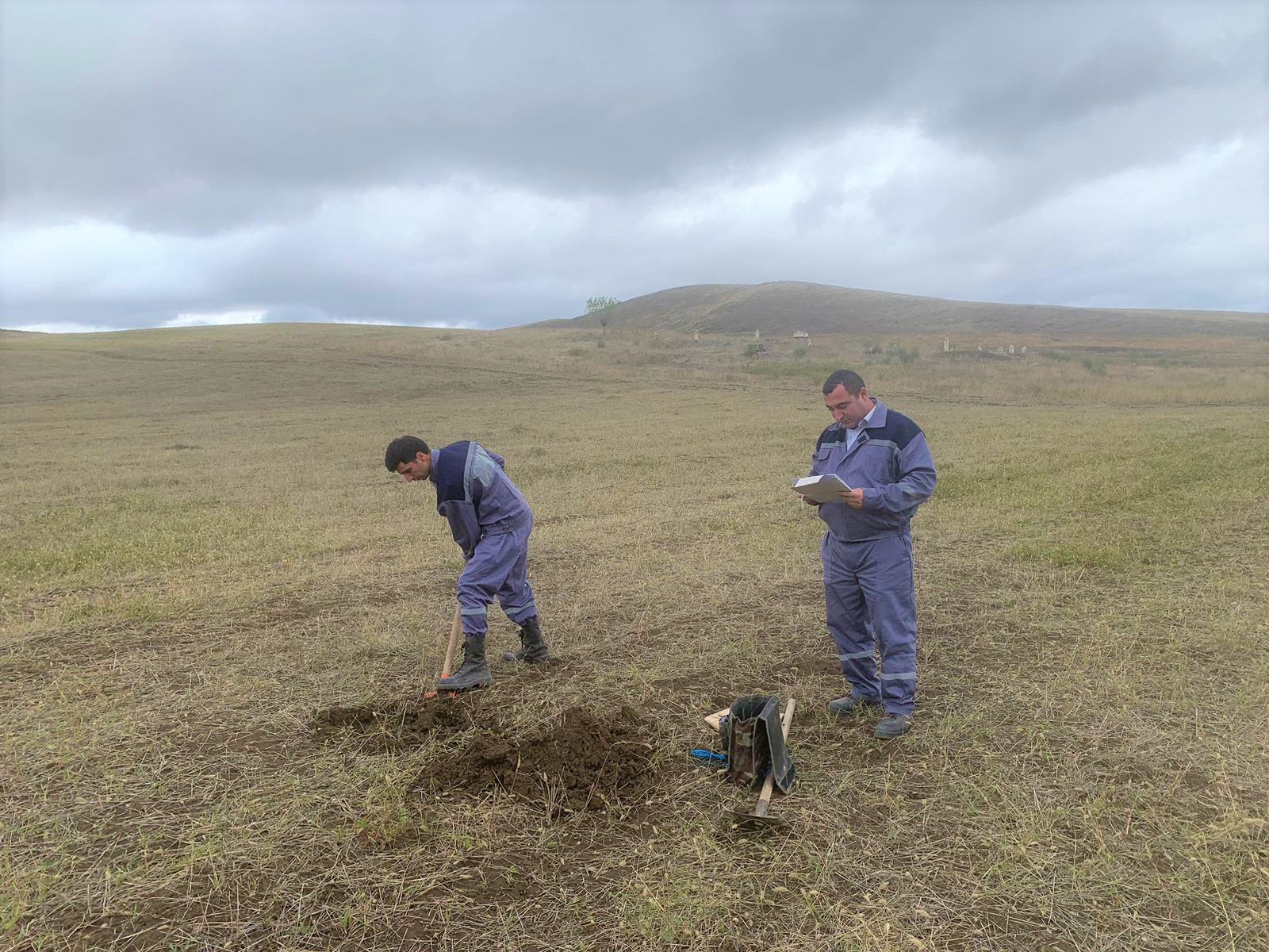
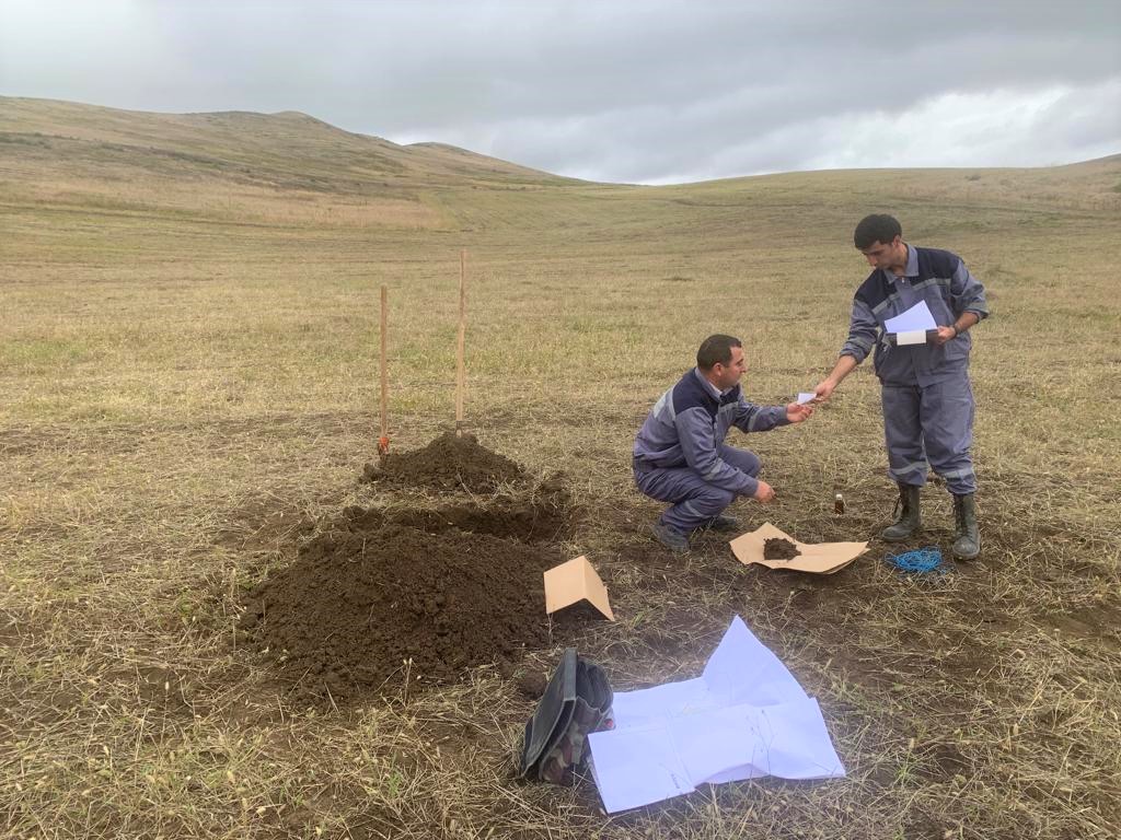
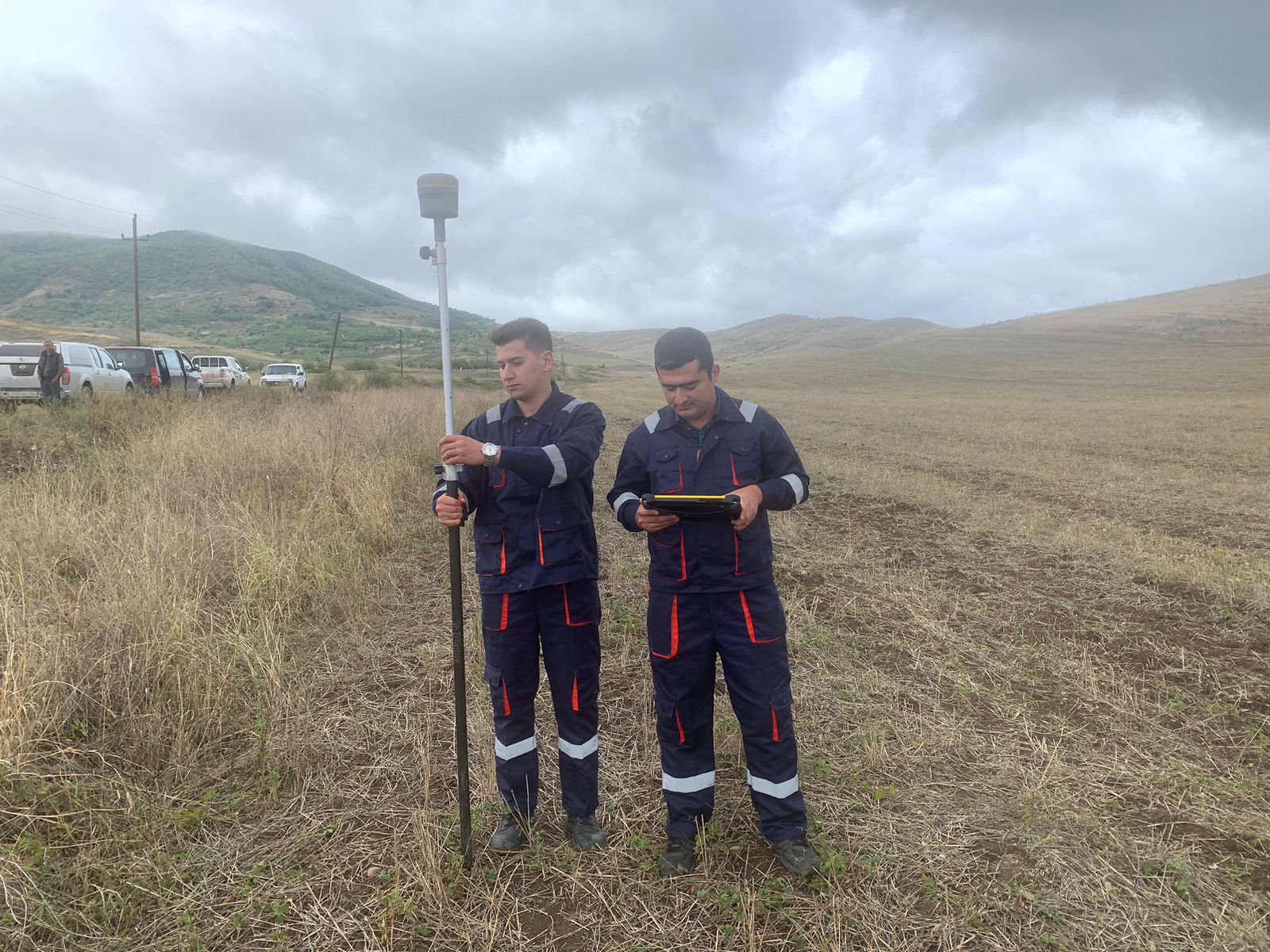
It should be pointed out that the coordinates of destroyed settlements, agricultural lands, forests and other designated lands, as well as all components located within their boundaries, are determined by specialists of the State Service on Property Issues with modern devices during field surveying. It refers to the continuously operating AzPOS stations to conduct field surveying in the area via GPS.
The economic evaluation of the land is also carried out to date as part of the land cadaster works. Field soil research has been carried out in 541,531 hectares, and field geobotanical research in 490,060 hectares, in the Zangilan, Gubadli, Kalbajar, Jabrayil, Lachin, Aghdam and Fuzuli regions, soil and plant samples were taken and sent to the laboratories of the Cadaster and Land studies Project-Research Center of the State Service on Property Issues and the Ministry of Agriculture for agrochemical analysis.
The results of soil and geobotanical studies are included in the single electronic land cadaster accounting information system.
The electronic cadastral accounting of the quantitative and qualitative indicators of land in the liberated territories will allow the formation of a unified state cadaster of real estate, increase the efficiency of land use and its protection, and effective management of land resources.